
The Walters Art Museum
Maps: Ottoman "Egypt", London "Tube"
Maps: Ottoman "Egypt", London "Tube"
Couldn't load pickup availability
Share
Limited Edition: 30
Exhibition: Maps: Finding our Place in the World
Material: Printed 2-ply vinyl
Dimensions: 30" x 94" (76cm x 238cm)
Hanging Hardware Included
Summary
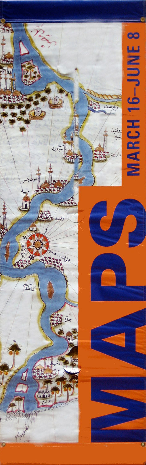
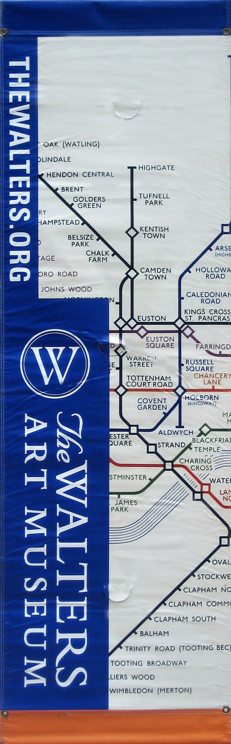
The cities of Baltimore and Chicago both hosted festivals of maps - celebrations of how we define and navigate our world. In conjunction with the Baltimore event, the Walters Art Museum hosted Maps: Finding our Way in the World, displaying over 100 of the rarest, most beautiful, and most unusual maps ever made. 30 banners from the show are now available. One side features a 17th-century Ottoman map which shows a mosque-dotted Nile snaking through Egypt. The other side shows a 1949 map of the London subway system - the simple graphic design by Harry Beck still defines the city's tube maps today.
Description
The way maps are designed reflects the way we think of our world. The exhibition Maps: Finding our Place in the World displayed over 100 maps that show the variety with which we have tried to visualize our world in miniature over the centuries. Banners from the exhibition feature two very different images that nonetheless both transmit specific information and meaning in the form of maps.
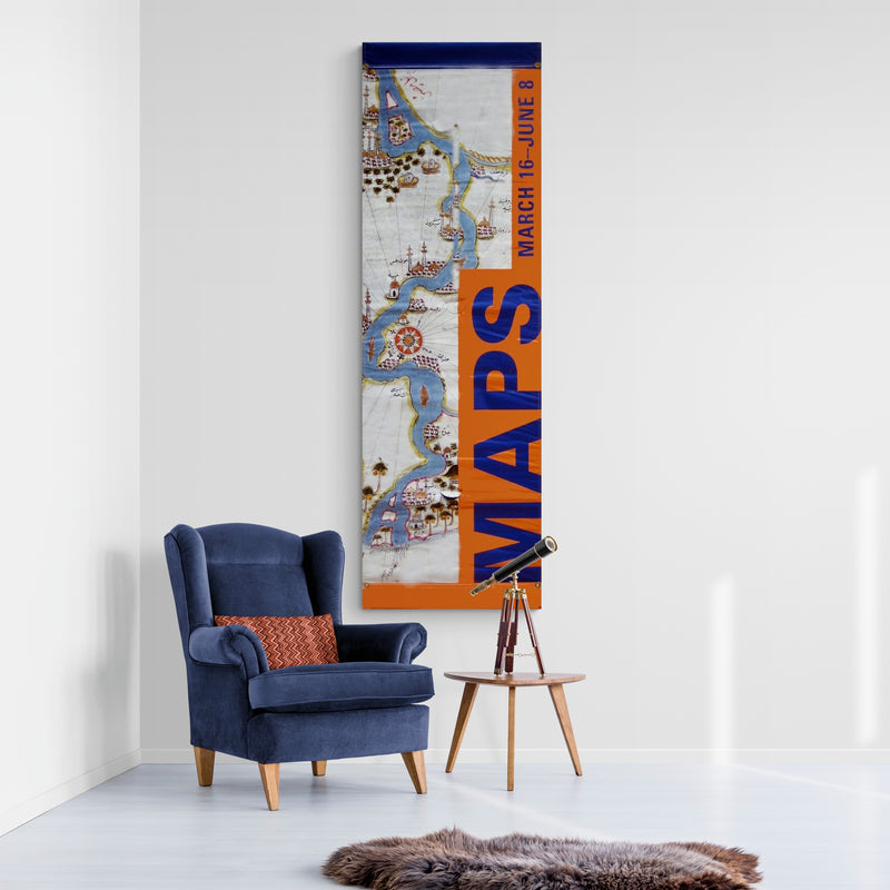
One side of the banner features the antique beauty of a 17th century Ottoman map. Delicately painted in vivid colors, the map shows the Nile river flowing through Egypt. Towns, trees, and mosques dot the shores. An interesting aspect of this map is that it turns our western perceptions of maps on its head, quite literally. The map is designed with south at the top and north at the bottom. Above the image is a blue band, and below it an orange band. An orange side bar contains blue text that reads “MAPS/March 16 – June 8”.
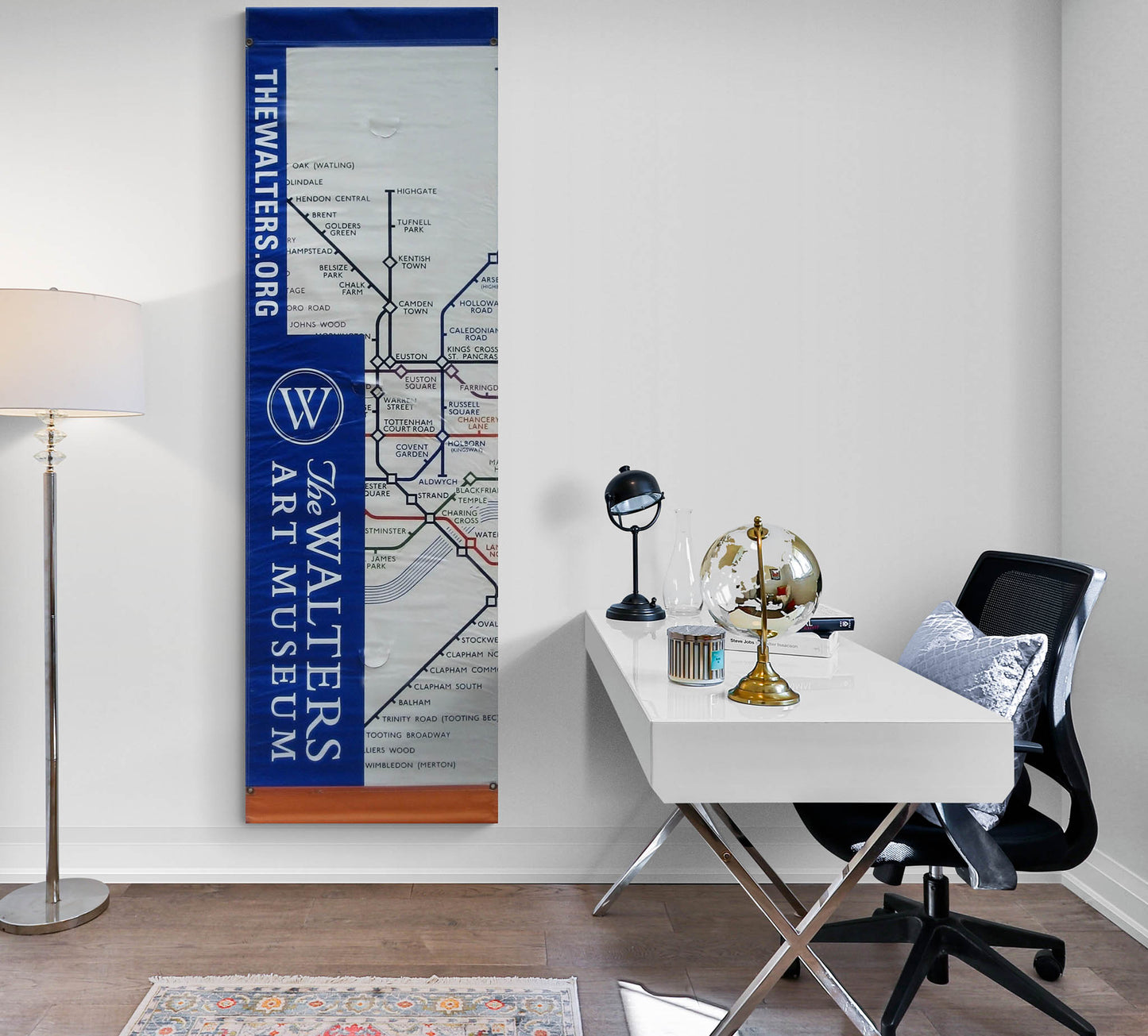
In 1933, Harry Beck, an engineering draughtsman for the London Underground designed a simple sketch of the city’s subway system. Previously, maps of the subway system had shown the train lines superimposed over a traditional street map of the city. This meant that in central London, many stops were located in close proximity to one another – while outlying, suburban stops were few and far between. Beck’s vision was to create a colored line for each train line with the stops clearly and graphically marked – and each spaced equidistant from the next. Travelers underground wanted to reach their destination, but did not need the visual clutter and confusion of the detailed above-ground world. Beck’s design has since been adapted and used by most of the world’s large urban train systems. The other side of this banner features a detail of the 1949 version of Beck’s map. Above the map is a blue band, and below it is an orange band. A blue side bar contains white text and the museum’s logo, “THEWALTERS.ORG/The Walters Art Museum”.
Provenance
These banners were displayed around Baltimore, Maryland from March 16 – June 8, 2008 to promote the exhibition, Maps: Finding our Place in the World at the Walters Art Museum. The exhibition was also seen in Chicago at The Field Museum.